Nikolaos KamakiotisSafety & risk management

Home / Natural hazards

Wildfires and floods are incidents. Analyse them like incidents.

Rebuilding how real wildfires moved, minute by minute, from the evidence they leave behind, and turning every loss mechanism into a risk factor for the next fire or flood.

Eight years of reconstructing extreme fires

Each year is coloured as an isochrone on the maps: the earliest in deep purple, the latest in green.

2018

Mati, Attica

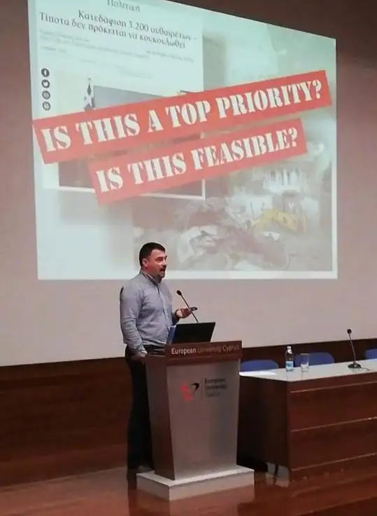
An independent spatiotemporal reconstruction from citizen and media data, with an incident animation. The fire scar was redrawn around every building, plot and road, and the fuel that was there before the fire was mapped across the whole burned area. Presented at the European University Cyprus Risk Forum and, by invitation, at the French National Academy for Fire Officers (ENSOSP) under the EU FIRE-IN project.

Fire spread reconstruction, 23 July 2018.
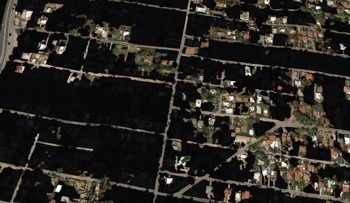
Detailed fire scar at Mati with unburned buildings and roads cut out
Detailed fire scar: unburned buildings, plots and roads cut out one by one.
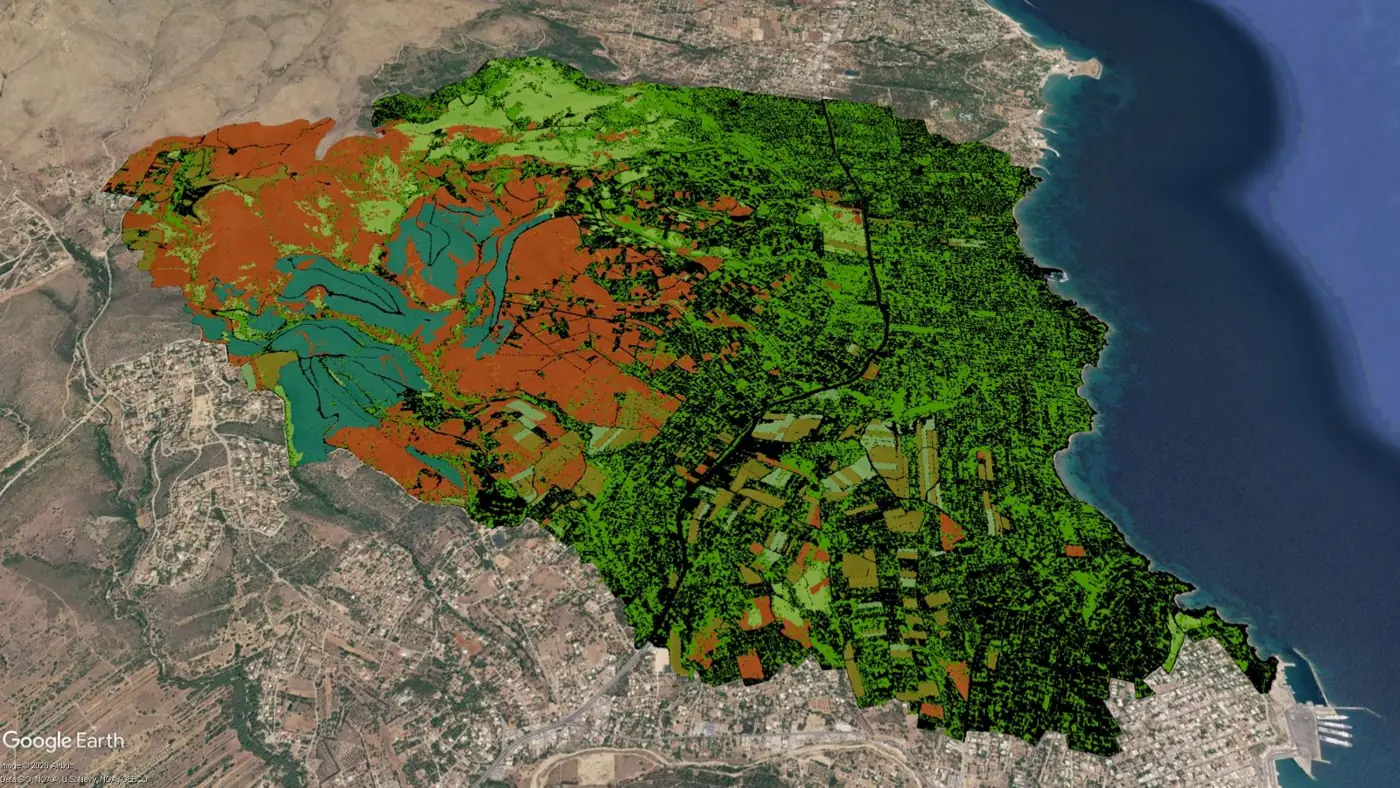
Pre-fire fuel distribution across the Mati burned area
Pre-fire fuel distribution.
2021

Arakapas, Cyprus

Four fatalities, and at the time the largest wildfire recorded in Cyprus. The perimeter progression was reconstructed and presented at the Cyprus Insurance Institute annual conference.

Fire perimeter progression, accelerated.
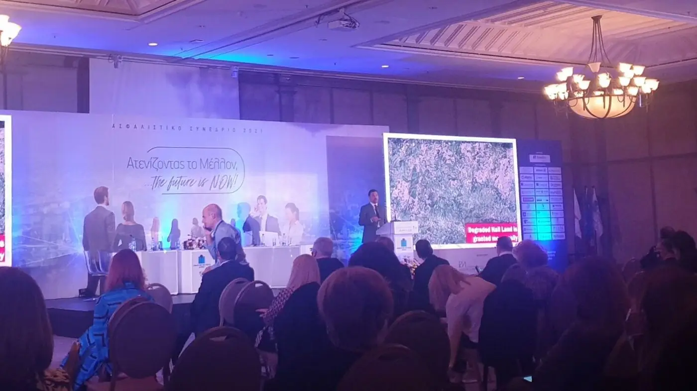
Presenting the Arakapas analysis at the Cyprus Insurance Institute conference
Cyprus Insurance Institute annual conference, November 2021.
2022

Mati and Arakapas compared

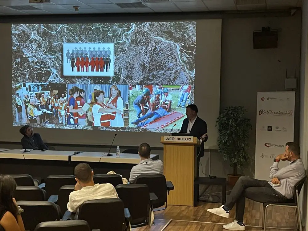
Rapid front propagation under extreme conditions, presented at Safe Thessaloniki 2022 with the Greek Ministry of Climate Crisis and Civil Protection.

Presentation at Safe Thessaloniki 2022
Safe Thessaloniki 2022, HELEXPO, Thessaloniki.
2023

Lahaina, Hawaii

A different landscape, the same pattern of impact. Independent monitoring and data collection on fire spread and evacuation.

Burned area and building losses mapped over Lahaina.
2024

Varnavas, East Attica

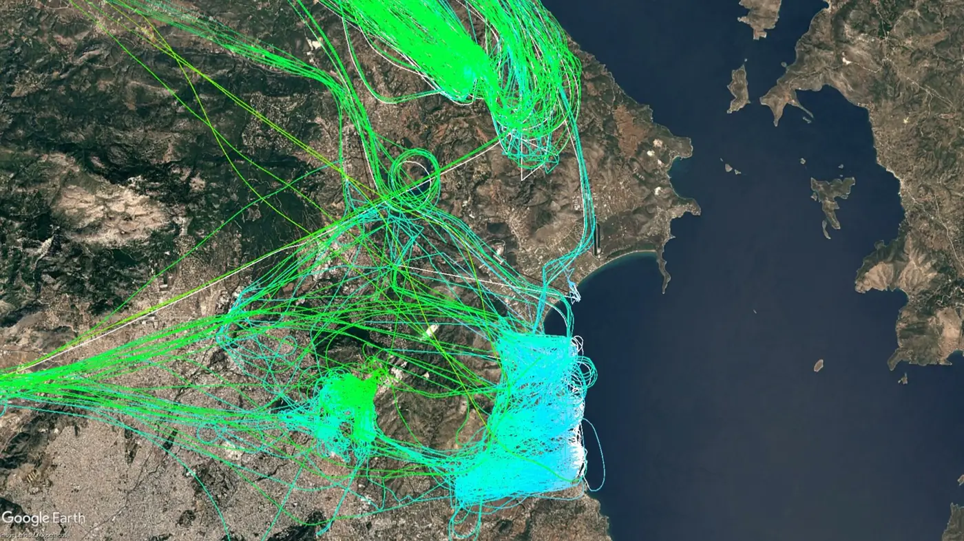
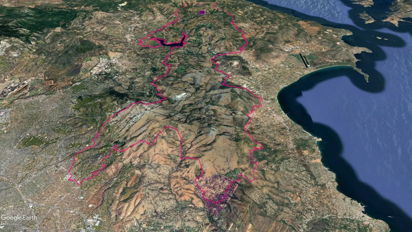
The two most violent fire heads of the first 24 hours, in ten-minute steps, as the fire reached the north-eastern suburbs of Athens. The flight tracks of every firefighting aircraft were analysed: drops in speed and height mark water drops and add time-stamped evidence of where the fronts were. Within the perimeter, two communities with very different layouts were compared side by side. Followed by a scientific mission at the National Observatory of Athens on wildland–urban interface fires.

Flight tracks of firefighting aircraft over the Varnavas fire
Firefighting aircraft flight analysis: every track during the incident.
The Varnavas fire perimeter with the two communities analysed
Two communities inside the perimeter: Varnavas and Dioni.
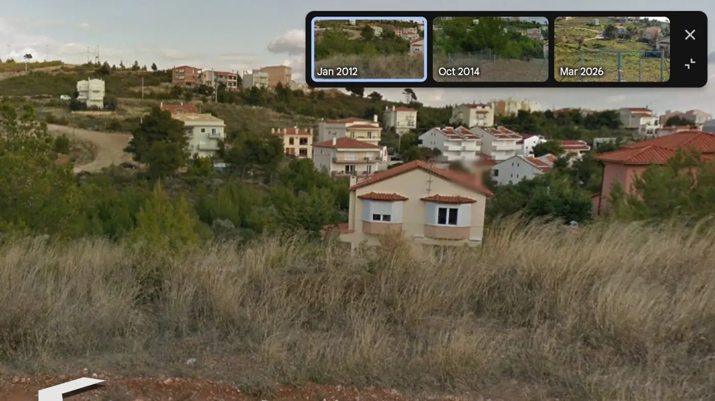
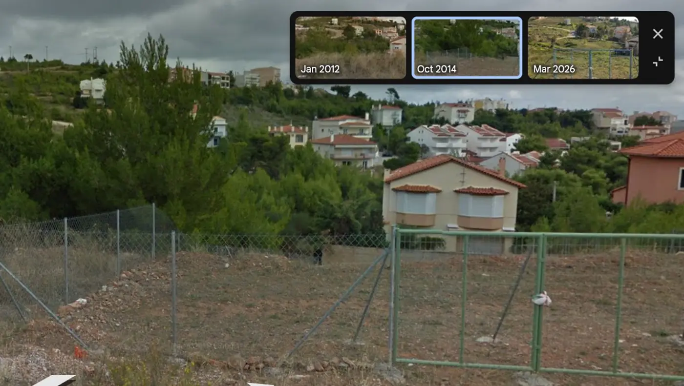
Street-level view of a house in Dioni in 2012 with dry grass and pines
Dioni, January 2012: dry grass and pines around the house.
The same house in 2014 with vegetation grown up to its walls
October 2014: natural vegetation in direct contact with the walls.
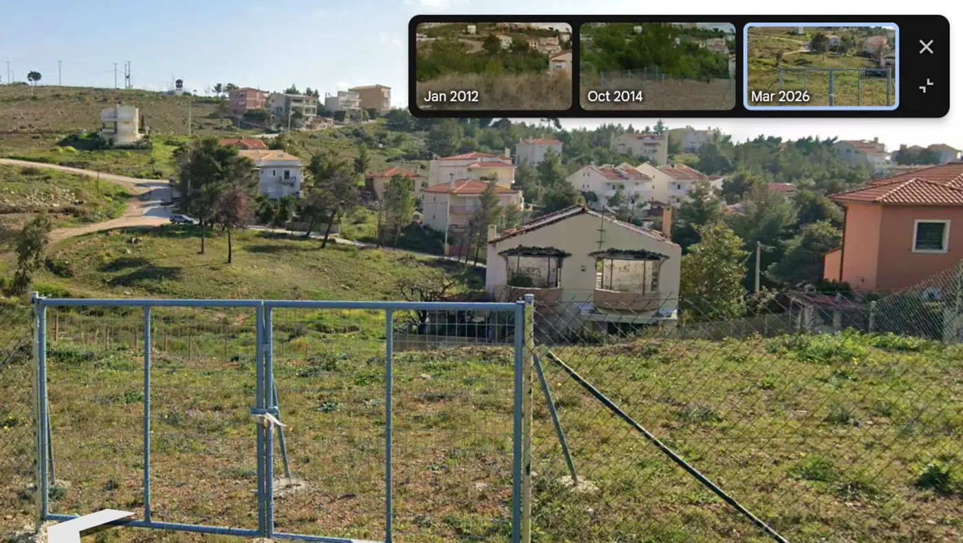
The same plot in 2026 after the fire
March 2026: the only total loss in Dioni. Its neighbours survived.

Street-level imagery © Google. The Varnavas work was sponsored by Altex S.A., E.N. Manos and Funky Buddha.

2025

Pisak, Croatia

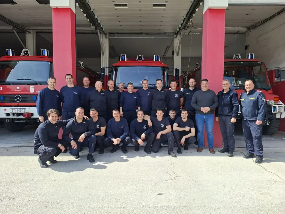
A full-day reconstruction of the fire of 21 June 2025, with the synoptic analysis of the Croatian Meteorological and Hydrological Service (DHMZ) and records from the local fire service. In March 2026 a NERO scientific mission brought the method to DHMZ in Zagreb, with training and field work with the fire brigade in Split.

With the Split fire brigade, March 2026
Split, March 2026: with the local fire brigade.
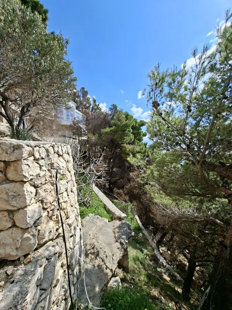
Field work on the Pisak slope
Field work on the Pisak slope.
Open the interactive reconstruction
2026

Oraiokastro, Thessaloniki

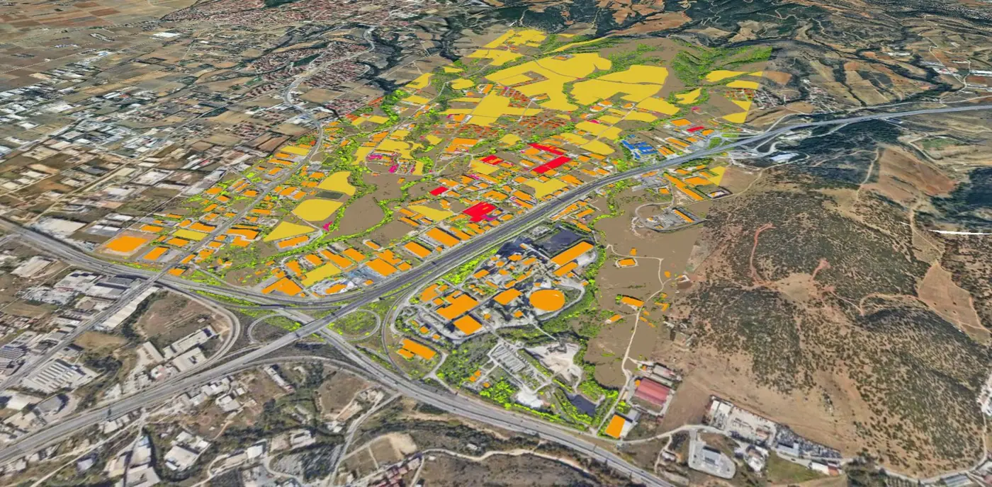
A night-time fire on 4–5 July 2026 that burned into an industrial zone and residential streets on the edge of the city. The reconstruction maps the fire against every factory, warehouse and home in its path, including combustibles stored outdoors and illegal dump sites that standard vegetation maps do not show.

Layered baseline map of Oraiokastro with vegetation, buildings and industry
Layered baseline: vegetation, farmland, homes and industry.

It looks like a simulation. Every line is evidence.

A simulation starts from equations and predicts where a fire could go. This method starts from records of where the fire actually was, and at what time. Physics is used only to connect those records, never to replace them.

  1. Collect. Videos and photos posted by residents, news footage, interviews with responders and witnesses, webcam recordings, satellite images and firefighting aircraft tracks.
  2. Locate and time every item. Where it was filmed from and where the front is in the frame, matched against pre-fire imagery; when it was filmed, from the post itself, other footage, the sun's position or shadow lengths.
  3. Fix the milestones. Each located and timed observation becomes a fire-front line, starting with the ignition point, which sets the clock for everything else.
  4. Cross-check them. A milestone that the evidence, wind, slope and fuel cannot support is re-examined or rejected.
  5. Fill the gaps. Ten-minute curves are drawn between milestones, inside the burned area, spaced by recorded wind, slope and gullies, vegetation, roads and man-made fuel.
  6. Animate. The curves are played in sequence on satellite imagery or 3D terrain.
slower: road, orchards faster: gully aligned with wind 06:5007:0007:1007:2007:3007:4007:50
Thick lines: milestones fixed by evidence, here a resident's video (06:50) and a webcam frame (07:50). Thin lines: ten-minute curves drawn between them, spaced by wind, slope and fuel.
Arrival-time mapsIsochrones at ten-minute intervals, showing when the front reached each part of the burned area.
Fire-front behaviourHow rate and direction of spread changed through the incident, which hourly reconstructions cannot capture.
AnimationThe spread replayed on satellite imagery or 3D terrain with the clock running.
Evidence registerEvery photo, video, webcam frame and satellite detection used, with its location, time and source.
Fire behaviour analysisThe weather and terrain mechanisms behind each change in speed and direction.
Technical reportMethod, findings and limits, written to be reviewed and challenged.
Products

From reconstruction to underwriting.

PYRODOTUS turns the loss mechanisms found in reconstructions into weighted risk factors for insurers; the digital fire history delivers the reconstruction itself.

Loss control & insurance products

Insights

Natural hazard commentary.

Natural hazardsAug 2026 · LinkedIn

Can insurance drive wildfire preparedness?

After the pledge to fully compensate Porto Germeno homeowners: an open question to the Greek insurance association on rewarding property-level mitigation, not only paying for losses.

Natural hazardsJul 2026 · LinkedIn

We learned to fight fire, not to stop it growing

Sharing Theodore Giannaros on CNN International: more aircraft and crews, but prevention, fuel management and WUI hardening still lag behind.

Natural hazardsJun 2026 · LinkedIn

A collaboration born at a NERO coffee break

Ivana Čavlina Tomašević (DHMZ) on how XFire 2025 led to the joint Pisak reconstruction and WRF-SFIRE on Croatia's national HPC infrastructure.

Natural hazardsApr 2026 · LinkedIn

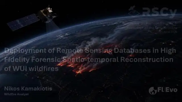
Remote sensing in forensic wildfire reconstruction

Short version of the RSCy 2026 presentation: how satellite information feeds the high-fidelity reconstruction method.
Natural hazardsApr 2026 · LinkedIn

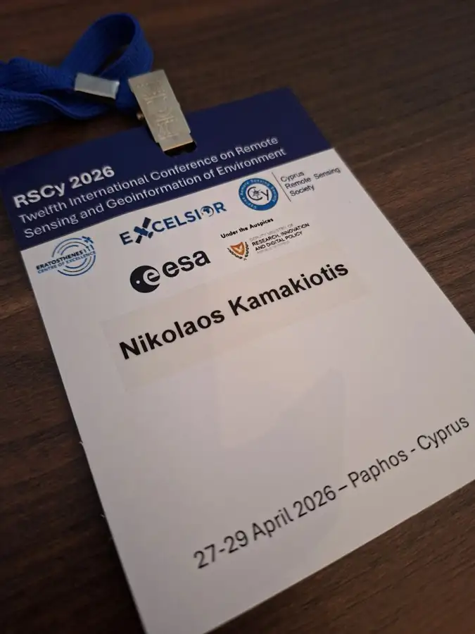
Presenting at RSCy 2026

12th International Conference on Remote Sensing and Geoinformation of Environment, Paphos: integrating remote sensing into forensic reconstruction of WUI wildfires.
Natural hazardsApr 2026 · LinkedIn

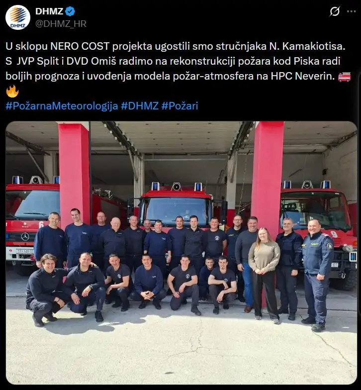
The method travels to Croatia

Knowledge transfer within the NERO Network: the reconstruction method, born from industrial incident analysis, applied with DHMZ to the Pisak fire.
Natural hazardsJan 2026

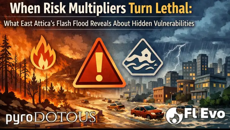
When risk multipliers turn lethal

Article. The fatal East Attica flash flood: how post-fire landscapes, buried streams and generic risk narratives combine into invisible threats.
Natural hazardsDec 2025 · LinkedIn

HackTech Hackathon 2025

Key takeaways from chrono-spatial reconstruction of WUI wildfires, shared in a short interview at HackTech 2025.

Natural hazardsOct 2025 · LinkedIn

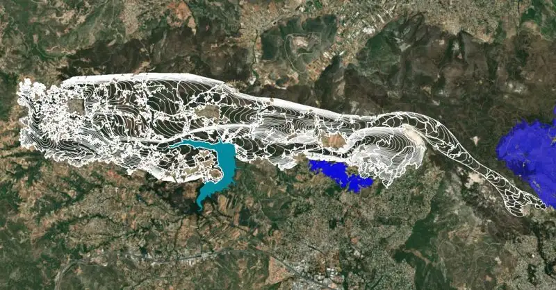
Writing wildfire history with purpose

Presenting the Varnavas reconstruction at the NERO XFire 2025 workshop, with a SWOT discussion on the researcher–practitioner interface.
Natural hazardsOct 2025 · LinkedIn

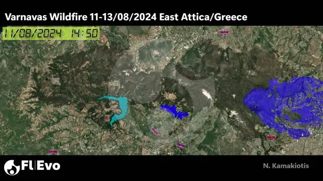
Out-of-the-box CSR: the Varnavas reconstruction

ALTEX S.A. supported the chrono-spatial reconstruction of the Varnavas fire, a project on proactive threat management and communication.
Natural hazardsSep 2025 · LinkedIn

XFire 2025: the Varnavas reconstruction

Evolution of extreme WUI wildfire incidents: the forensic chrono-spatial method, including impact on cultivated land by crop type.
Natural hazardsJul 2025 · LinkedIn

Interview on the Limassol wildfire

Interview with the Cypriot news group Politis on the large Limassol district fire.

Natural hazardsJul 2025 · LinkedIn

Limassol fire: no decrease at night

Fire intensity in the Limassol district did not drop overnight.

Natural hazardsJun 2025 · LinkedIn

Chios 2025: three days in 33 seconds

Under adverse winds, fronts in abandoned countryside cannot be controlled; when the wind dropped on day three, the fire subsided.

Natural hazardsJan 2025 · LinkedIn

Natural disasters and media inflation

When every event is "unprecedented", the public stops pressing for the improvements we can control: planning, building codes, fuel management and preparedness.

Natural hazardsJan 2025 · LinkedIn

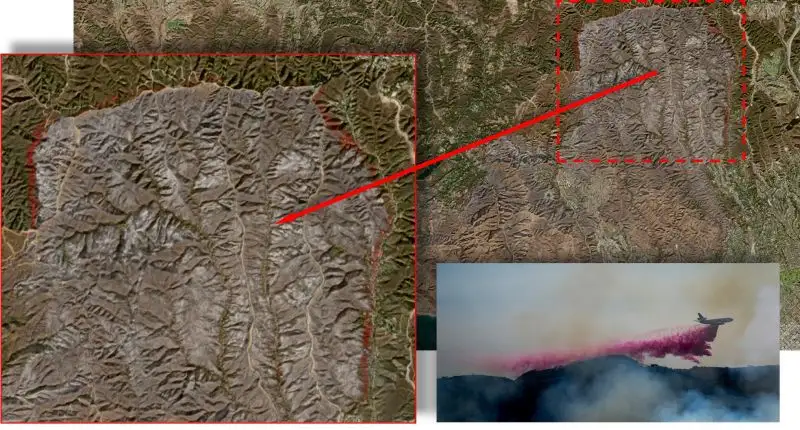
Boxing out the Palisades fire

Retardant lines on the north-east flank: impressive, but not designed for the wind-driven main front. Planning around the Mediterranean must account for this.
Both fieldsDec 2024 · LinkedIn

Cyprus ESG Forum 2024

Expanding knowledge on ESG implementation and the tangible needs of potential customers.
Both fieldsSep 2024 · LinkedIn

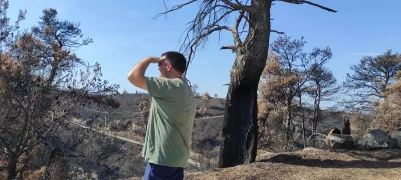
How it started: Mati, 23 July 2018

Wildfire analysis began in a home yard in Cyprus, applying operational safety incident investigation experience from VTTI and DP World to the Mati disaster.
Natural hazards2023 · LinkedIn

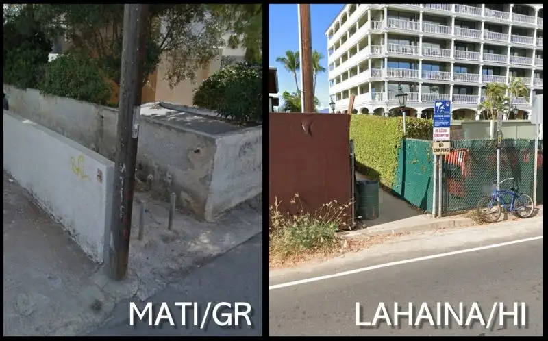
Mati and Lahaina: the same access points

Lessons not learned, and not possible to share: the case for uniform analysis of public-safety wildfire incidents across EU Member States.
Both fields2023 · LinkedIn

Wildfires are accidents, not acts of nature

Improvement only comes from honest, objective analysis of what happened. Wildfire incidents should be analysed like industrial accidents.

Both fieldsMar 2023 · LinkedIn

Living Lab on climate adaptation

Contributing field experience to the second Living Lab workshop on climate adaptation.
Natural hazardsJul 2022 · LinkedInEL

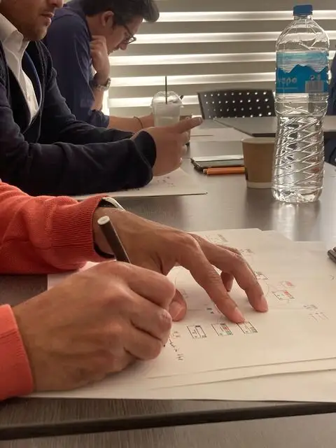
The one video from the Neos Voutzas ravine

The only footage of the northern front leaving the ravine above Neos Voutzas, the point where the rate of spread surged.

Natural hazards2022 · LinkedIn

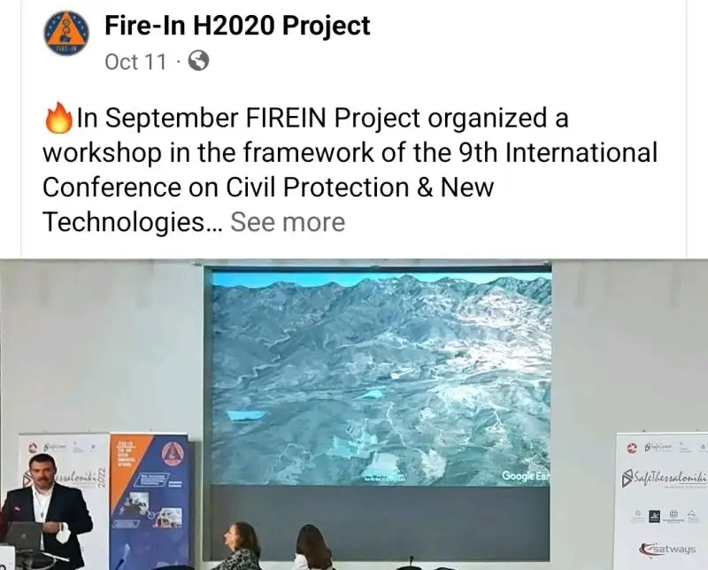
FIRE-IN: Arakapas analysis for KEMEA

After presenting Mati at ENSOSP in 2019, presenting the Arakapas fire, the deadliest in Cyprus, to the FIRE-IN H2020 experts on behalf of KEMEA.
Natural hazardsMay 2022 · LinkedInEL

A wildfire guide Cyprus can use today

Apart from the fire service number, the Greek wildfire self-protection leaflet applies directly to Cyprus.

Natural hazards2019 · LinkedIn

Mati, one year after

A short video comment on the anniversary of the national catastrophe.

Both fields2019 · LinkedIn

Management of change, applied to climate

After record rainfall in Cyprus, was the change managed? An industrial management process applied to a natural one.
Natural hazards2019 · LinkedIn

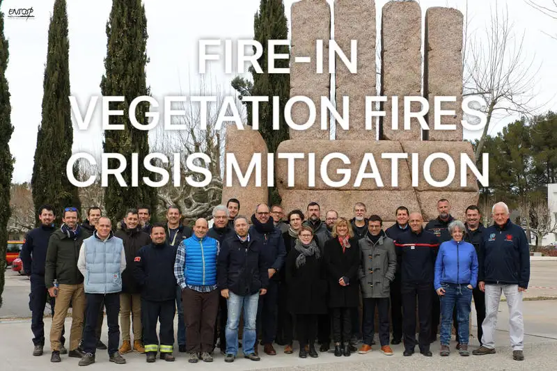
Associate expert at FIRE-IN

Invited to the EU-funded FIRE-IN workshop on vegetation fire crisis mitigation, following the web-based study of the Mati disaster.
Natural hazards2018 · LinkedIn

Lethal rendez-vous

Annex to the Mati study: following the last steps of a family lost in the fire.

Natural hazards2018 · LinkedIn

East Attica disaster: safety management principles

Updated video of the web-based investigation study of the July 2018 East Attica fires.

Natural hazards2018 · LinkedIn

The Mati study goes public

The video version of a safety management oriented, web-based investigation of the East Attica wildfire disaster.

Both fields2018 · LinkedIn

Nicosia Risk Forum 2018

Sharing concerns and ideas on crisis management at the first Risk Forum of CERIDES / European University Cyprus.